
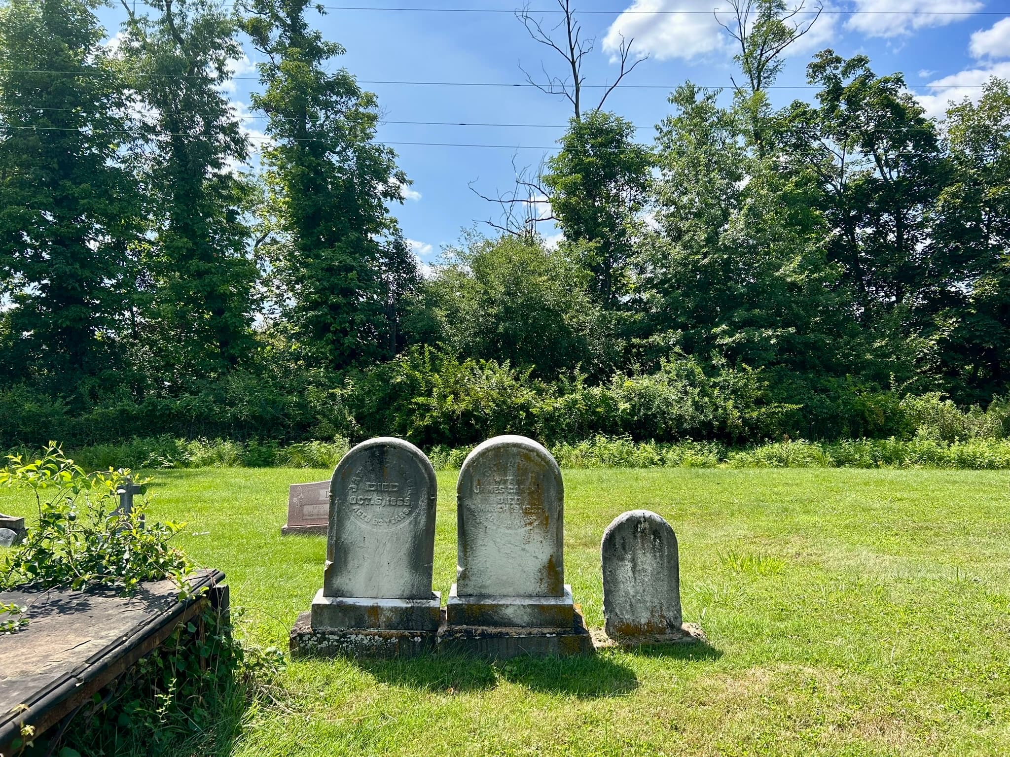
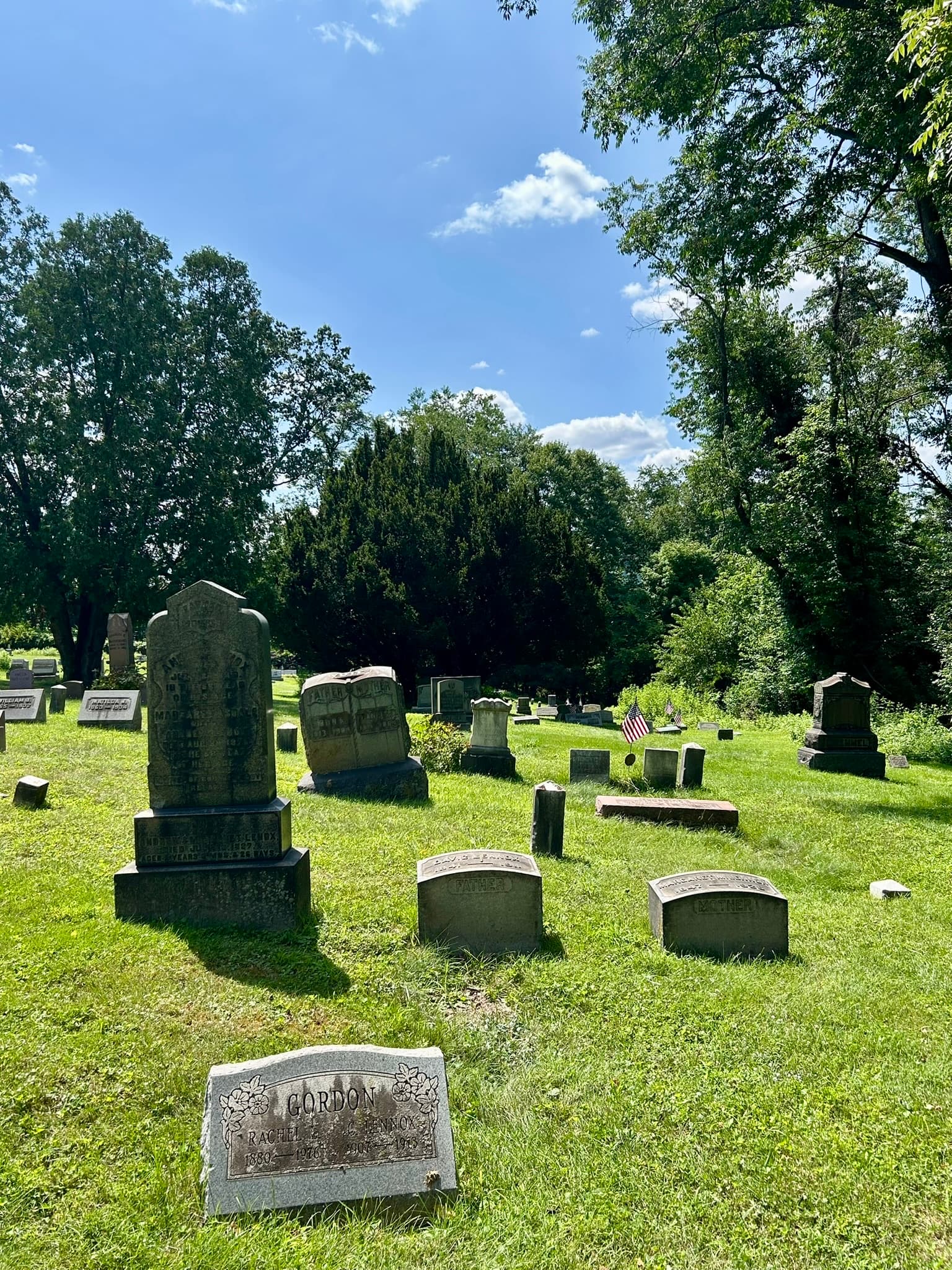
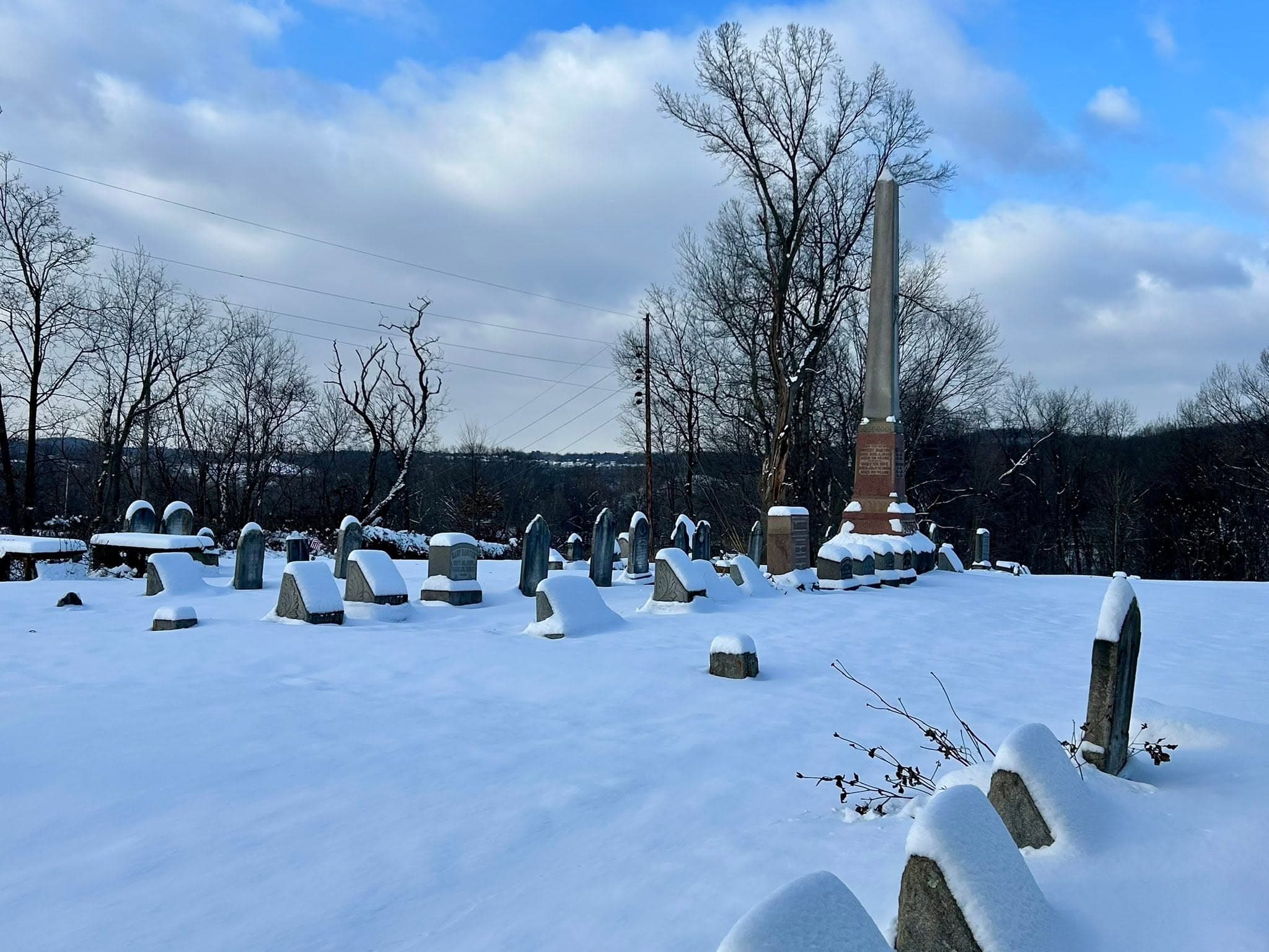
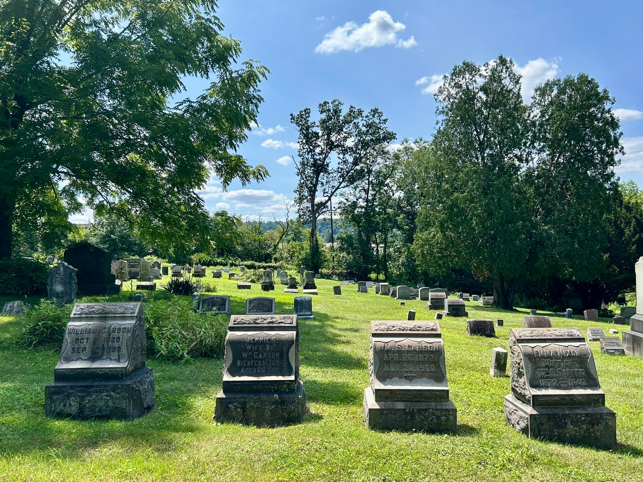
Wide view of Henderson Cemetery lawn and monuments

More Than Two Centuries of Memory

A Small Cemetery Woven Into Harmarville's Story

Henderson Cemetery holds family records, local memory, and the continuing work of people who chose to care. The story is strongest when records, maps, documents, and sources stay connected.

The Early Burial Ground

Circa 1800

Original Graveyard

Early pioneer families set aside portions of their properties for a public burial ground now known as Henderson Cemetery.

Sources and context

Cemetery archival materials identify Ebenezer Denny's 1795 land grant and James Henderson's 1790 land grant as part of the cemetery's origin story. Published county history places James Henderson's tract east of Ebenezer Denny's property, while cemetery burial records identify JP 1807 as the oldest readable marker and Hannah Henderson's 1828 grave as the oldest documented grave.

Documented in association history or records.
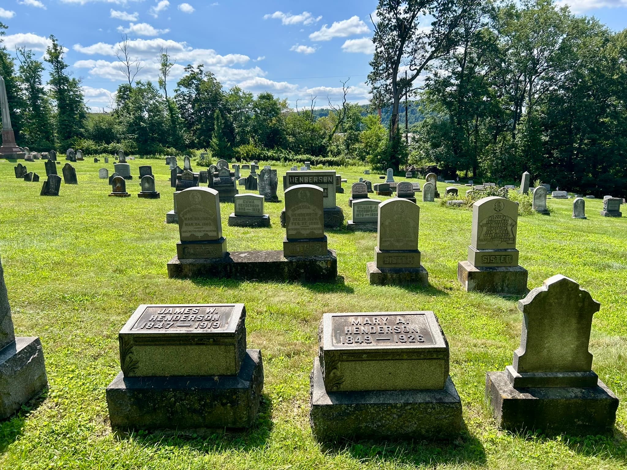
Plan I and the Organized Cemetery

1884

Henderson Cemetery: Expansion, Plan I

Oliver Henderson expanded the original cemetery by donating 54 additional lots of eight graves each.

Sources and context

The 1884 Plan I map is held in the Henderson Cemetery archive. Cemetery archival materials state that the transaction was recorded in the Allegheny County Recorder's Office, the name legally became Henderson Cemetery, and this expansion is now known as Plan I. An independently accessible online source for the donation details has not yet been identified.

Documented in association history or records.
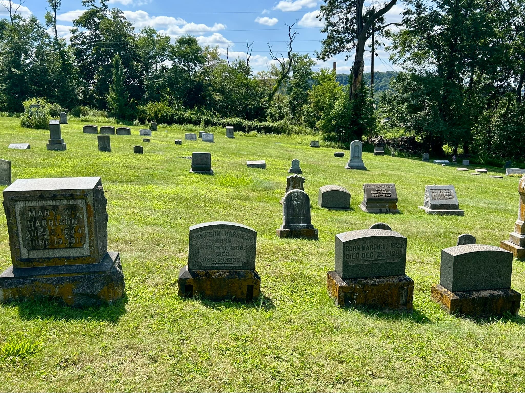
Association Stewardship Begins

1909

Harmarville Cemetery Association

Rev. Harry Joseph Rose's interest in saving the overgrown cemetery helped inspire the Harmarville Cemetery Association.

Sources and context

Harmarville Cemetery Association records document the transfer of control, early by-laws, founding contributions, and charter application. Cemetery archival materials connect the association's formation with renewed preservation interest after Rev. Rose found the grounds overgrown.

Documented in association history or records.
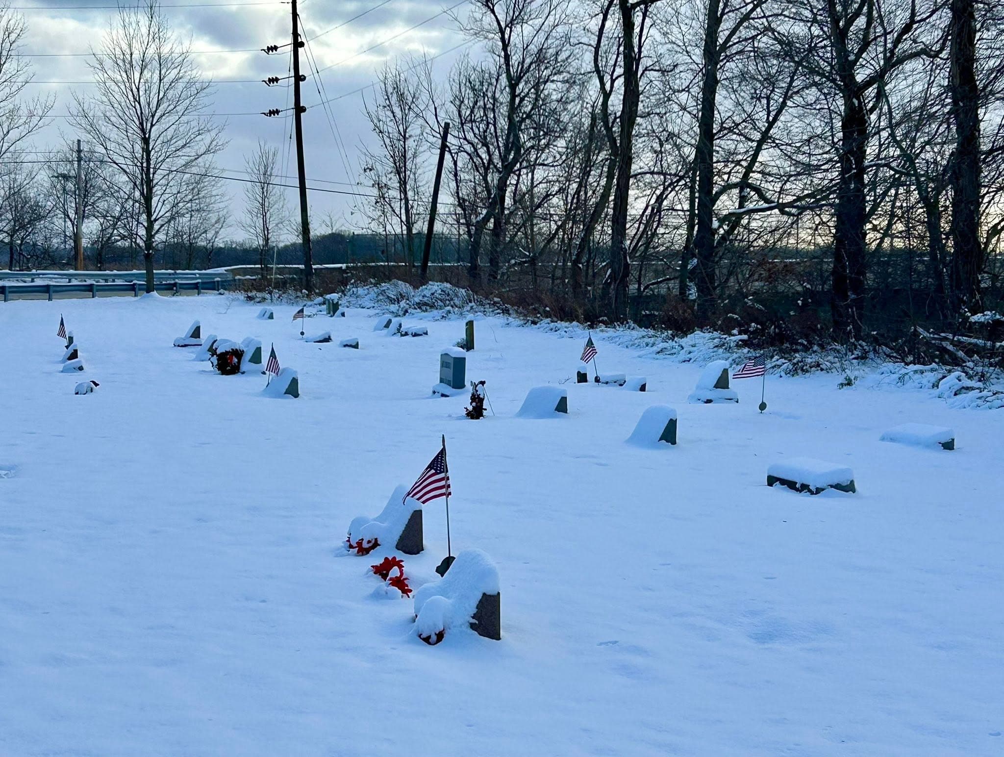
Plan II and Continued Stewardship

1911

Expansion: Plan II

Anna Melzena Spring donated an additional 100 lots of eight graves each, creating the expansion now known as Plan II.

Sources and context

Cemetery archival materials describe Anna Melzena Spring as Ebenezer Denny's philanthropist great-granddaughter and sole heir to the Denny estate, and state that lot-sale proceeds were to be used only for cemetery maintenance. Independently accessible online corroboration for the Plan II donation details has not yet been identified.

Documented in association history or records.
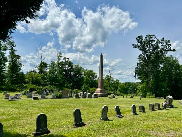
Railroad Edge

1916

Railroad and Eastern Boundary

The railroad buried an adjacent wooden trestle beneath slag, built a new elevated rail line, and a wall protected the cemetery grounds.

Sources and context

Documented in Henderson Cemetery archival materials; independent online corroboration has not yet been identified. Cemetery archival materials state that the wall still stands today and forms part of the cemetery's eastern boundary.

Documented in association history or records.
Modern Infrastructure

1951

Pennsylvania Turnpike Western Boundary

Construction of the western extension of the Pennsylvania Turnpike became the cemetery's permanent western border.

Sources and context

The Pennsylvania Turnpike Commission's public history states that the Western Extension opened in stages in 1951. Cemetery archival materials describe the turnpike as a natural buffer that shields the grounds from nearby businesses and industry.

Documented in association history or records.
The 1952 Renewal

1952

Renewed Interest

Charles Nixon Carson helped revive interest after the cemetery had again become overgrown and fallen into neglect.

Sources and context

Cemetery archival materials state that the Harmarville Cemetery Association was revived, renewed its core mission, cleaned up the grounds, elected a new board, and moved forward. An independently accessible online source for the 1952 renewal has not yet been identified.

Documented in association history or records.
Protected Boundaries

2020

Final Adjacent Land Acquisition

The last privately held parcel directly adjacent to the cemetery became part of the cemetery grounds.

Sources and context

Cemetery archival materials identify the parcel as 2.06 wooded acres extending from Plan I to the Route 28 expressway, creating cemetery property bounded by permanent physical barriers. An independently accessible online source for the parcel-transfer details has not yet been identified.

Documented in association history or records.
The People Behind the Places

Local stories are still being connected.

Research is continuing into connections between cemetery families and Harmarville's roads, institutions, and community history. Unsupported profiles are not published as fact.

Help Research a Local Story

Henderson's Next Generation

History survives when someone carries it forward.